Glacier meteorology
Local observations, ERA5‑Land, ERA5 and CHIRPS
Advanced workflow · synthesis pending
Sources and products
The notebooks generate daily AOI/year databases, coverage reports, spatial cell weights, monthly summaries and annual panels. ERA5‑Land supplies temperature, dew point and wind; ERA5 provides total cloud cover; CHIRPS supplies spatial precipitation.
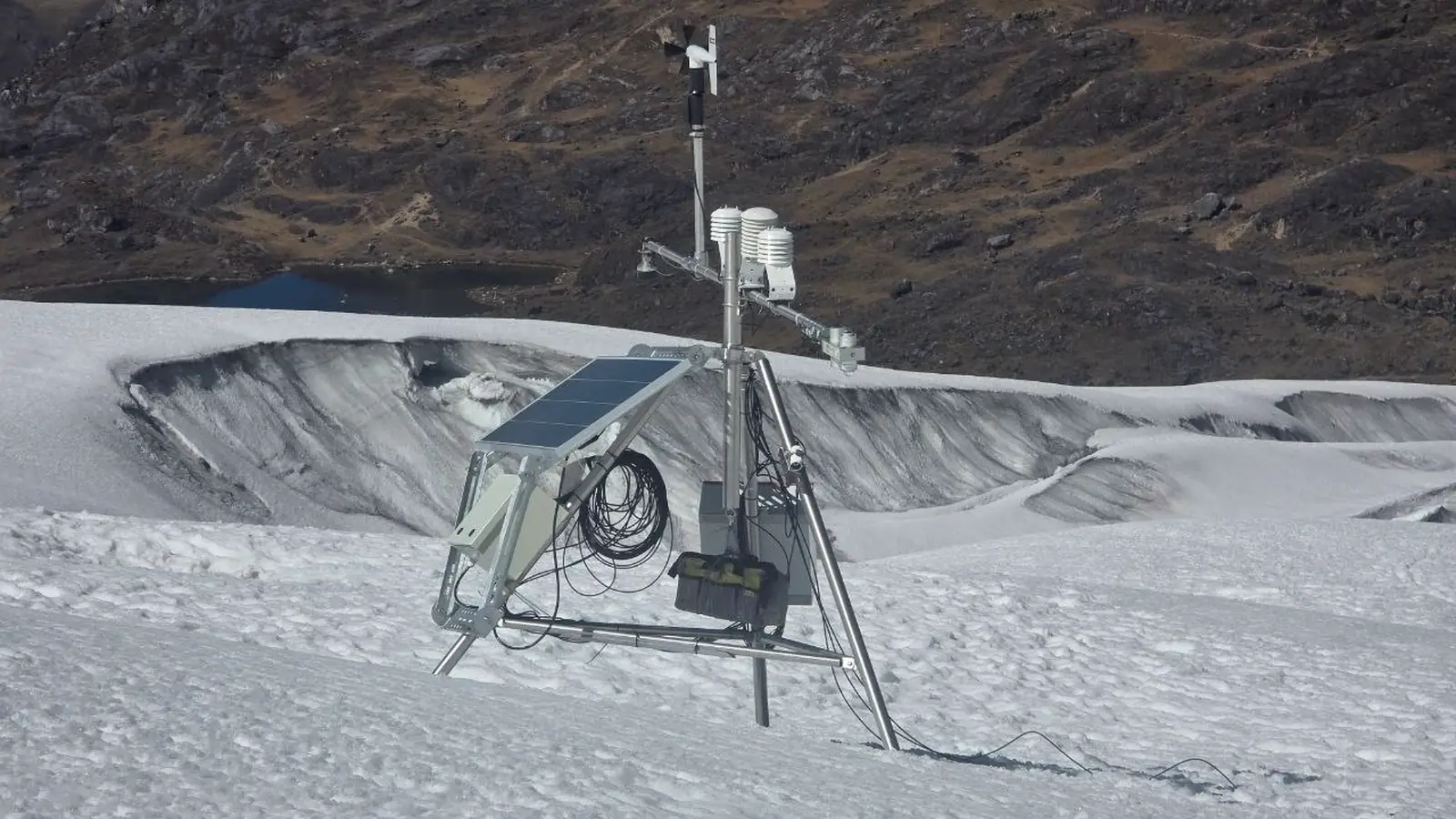
Quisoquipina spans 29 September 2011 to 14 July 2024. The station reference elevation is 5,200 m and the target forcing elevation is 5,610 m. A preliminary lapse rate of −0.0065 °C m⁻¹ implies a −2.67 °C adjustment over 410 m, but this remains a forcing preparation rather than final calibration.
Limitations
Reanalysis smooths topography. Total precipitation is not solid accumulation. Daily wind roses cannot resolve hourly mountain-valley cycles or gusts. The multi-year master climatology remains to be consolidated.