Cordillera Vilcanota
Regional glacier system, Cusco
ICESat‑2 consolidated InSAR diagnostic
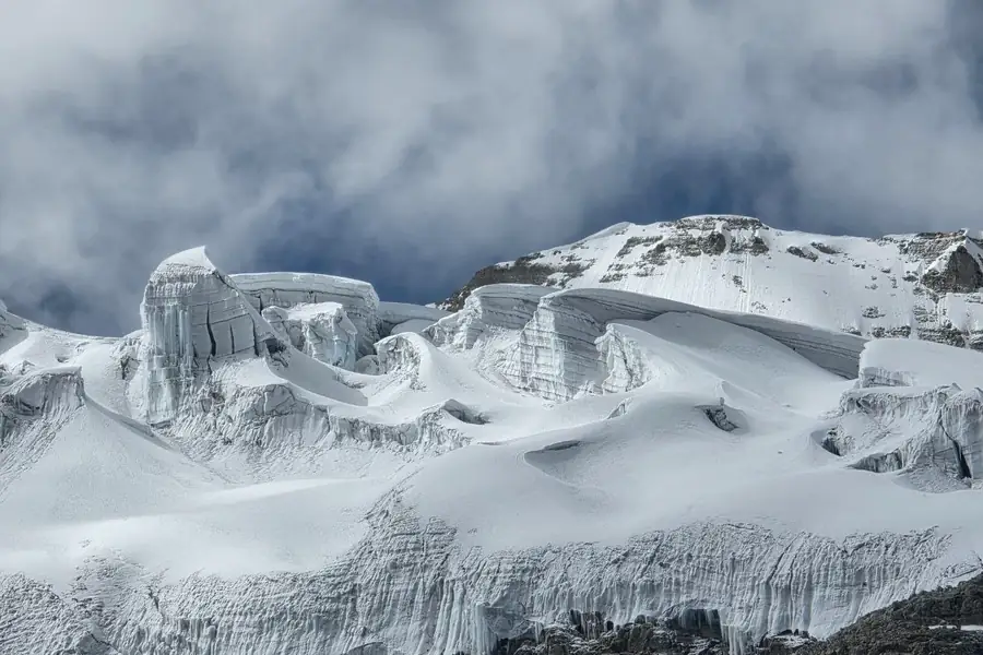
Regional unit
The analysed AOI covers 269.02 km² before the internal buffer and 254.01 km² after a 15 m buffer, with 190 polygons and elevations of approximately 4,597–6,364 m.
Main result
The area-weighted regional rate is −1.463 m yr⁻¹ (95% CI: −2.357 to −0.596), representing 96.5% of the AOI. At 850 kg m⁻³ this corresponds to −1.243 m water equivalent yr⁻¹ (95% CI: −2.011 to −0.476).
The strongest negative trends occur at lower and middle-lower elevations. High-elevation bands have weaker support and wider uncertainty.
InSAR context
The audited series has 33 ascending and 35 descending acquisitions on a 40 m EPSG:32719 grid. Monthly dU examples (+0.23 and −0.58 cm) are close to the 0.63–0.65 cm stable residual. Cumulative products and consistent uncertainty are required before a regional InSAR rate is reported.